

89.5 FM WCNP - Beautiful Classical and Sacred Music with Solid Biblical Teaching
Save the date for our Fall Concert!
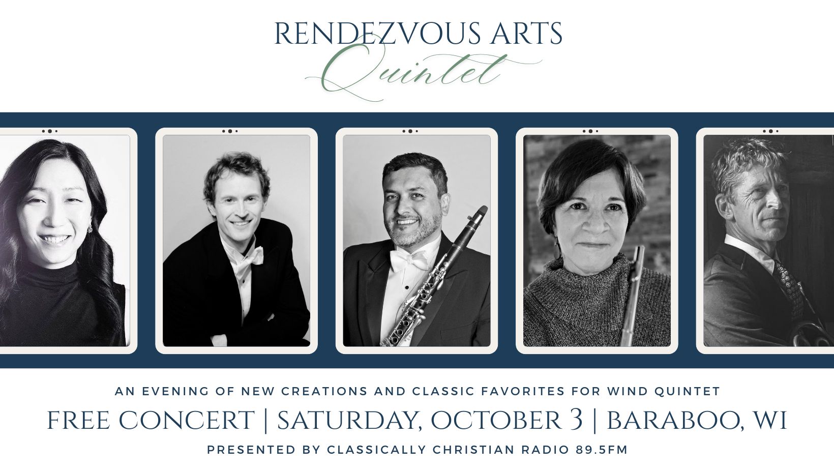
Save the date for our annual Fall Concert, featuring a performance the Rendezvous Arts Quintet! Mark your calendars for Saturday, October 3rd and plan to join us for an evening of beautiful classical and sacred music. Hope to see you there!
Celebrating America's 250th!
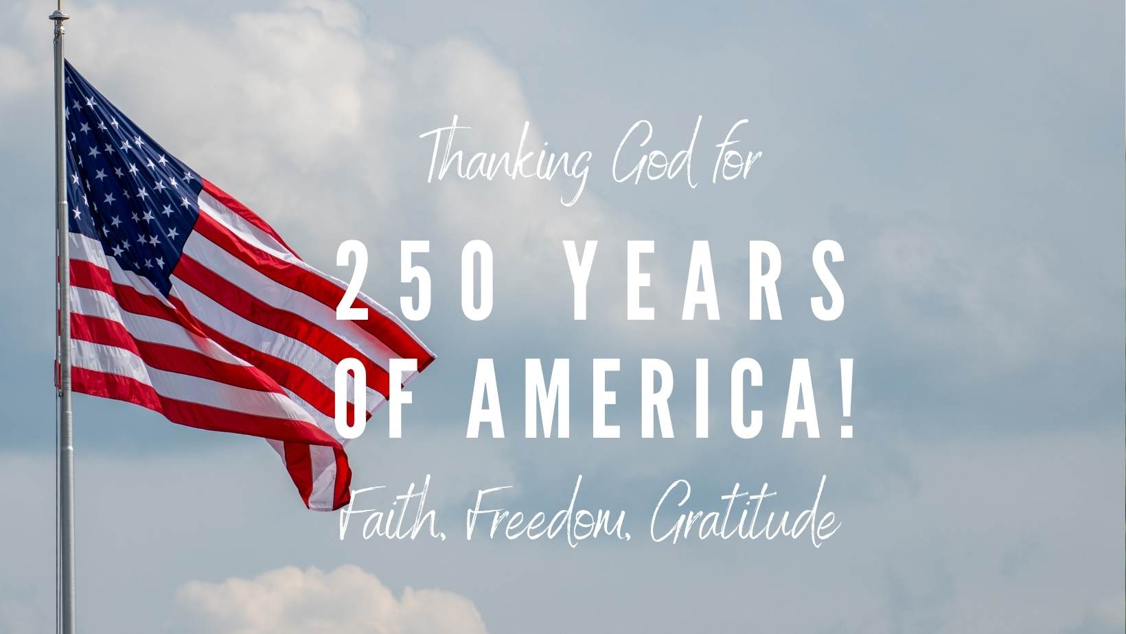
As America marks 250 years, we pause to give thanks to God for His faithfulness through every generation. We are grateful for the blessing of liberty and the opportunity to proclaim the hope of the Gospel on 89.5FM – WCNP. The team at Classically Christian Radio invites you to join in celebrating this historic American milestone with thankful hearts, recognizing that every good gift comes from our gracious God.
New Program - Sound of Majesty
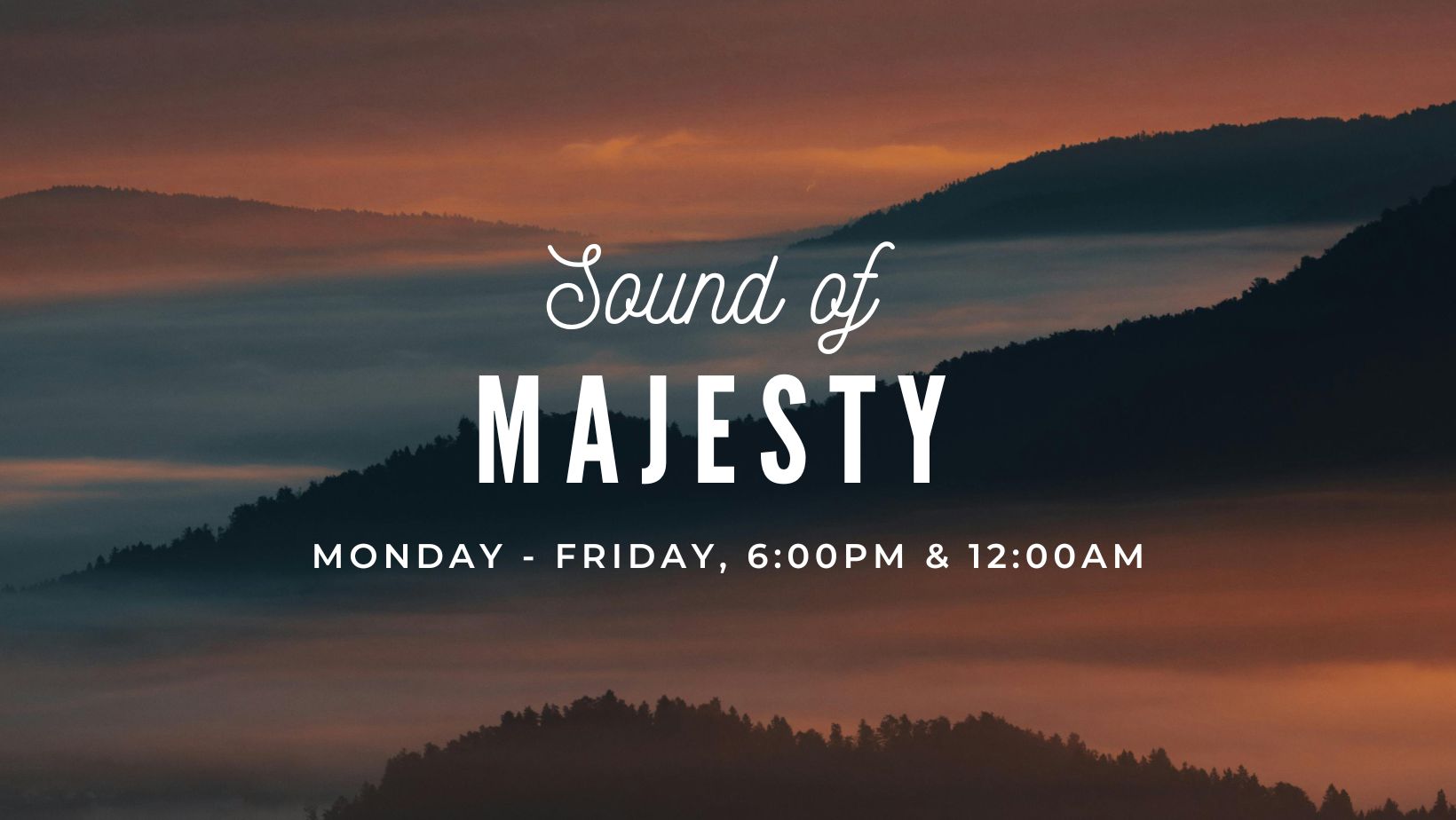
Listen to Classically Christian 89.5FM weekdays at 6pm and 12am to experience the beauty of “Sound of Majesty”, a one-hour program featuring sacred and classical music. If you were a regular listener to this program, which aired for more than twenty years on Moody Radio, you’ve come to the right place to hear that program again! Host Greg Wheatly leads the program with a passion for helping people understand and love great music, especially music of the church. Tune in and enjoy!
New music on Classically Christian Radio!

Classically Christian 89.5FM is now playing an expanded music assortment – tune-in today to have your spirits lifted with spirit-moving new psalms, hymns, and spiritual songs.
Stock Gifting

Share your investment gains with us by making a tax-advantaged gift of stock. It’s fast, secure and free to donate stock right here through our website.
Did you know stock gifting is one of the most tax-friendly ways to support our mission? When you donate stock, you may avoid the tax on the gain while deducting 100% of the value of the contribution. Moreover, when you donate stock rather than selling it, we get to keep the proceeds that would have gone to pay taxes – it’s a win-win for you and us!
Thank you for prayerfully considering this new opportunity to support the work of Classically Christian Radio.


